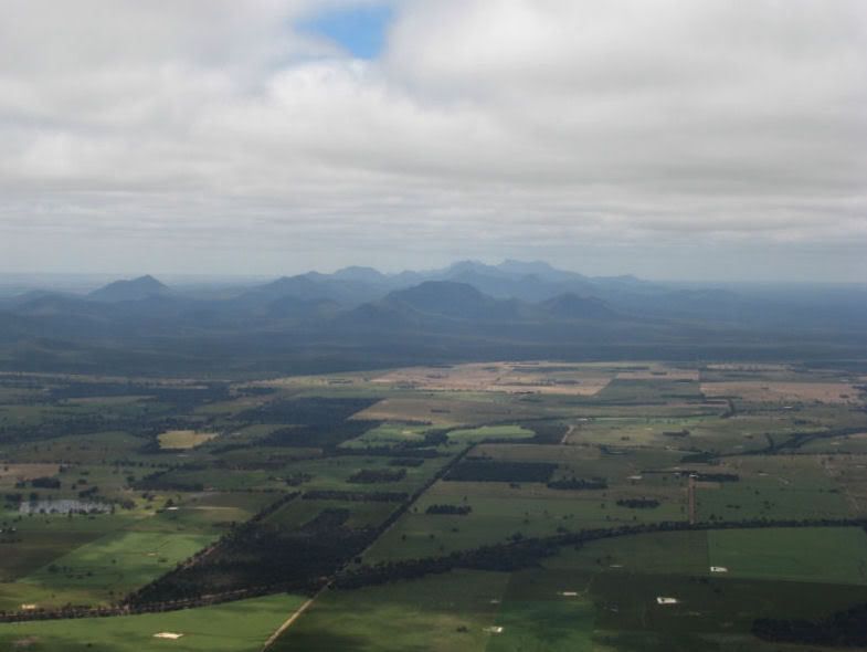
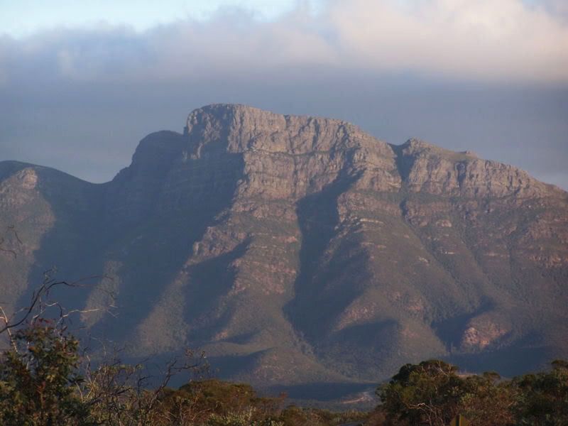
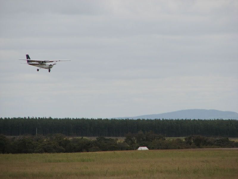
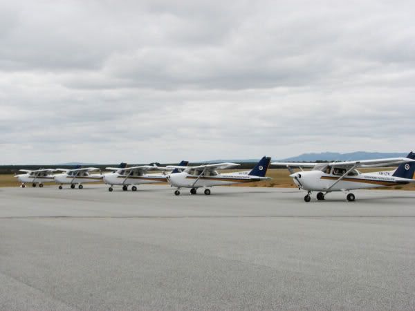
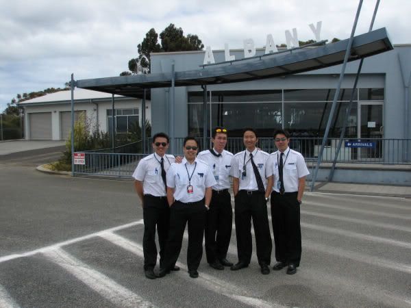
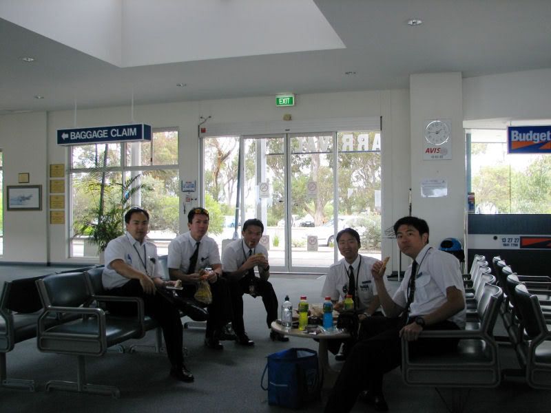
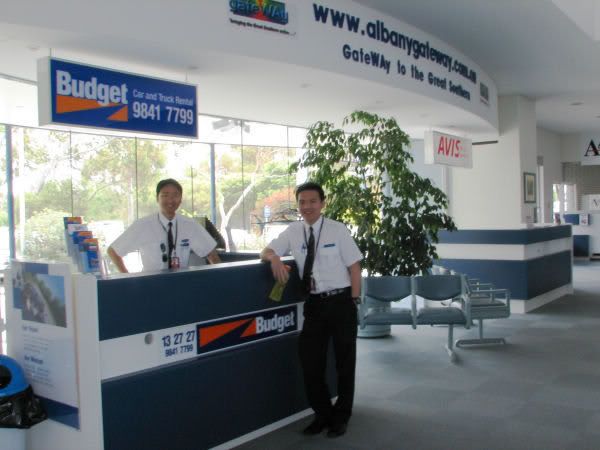
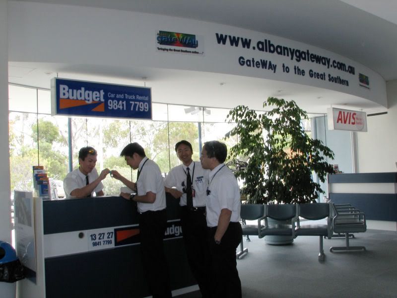
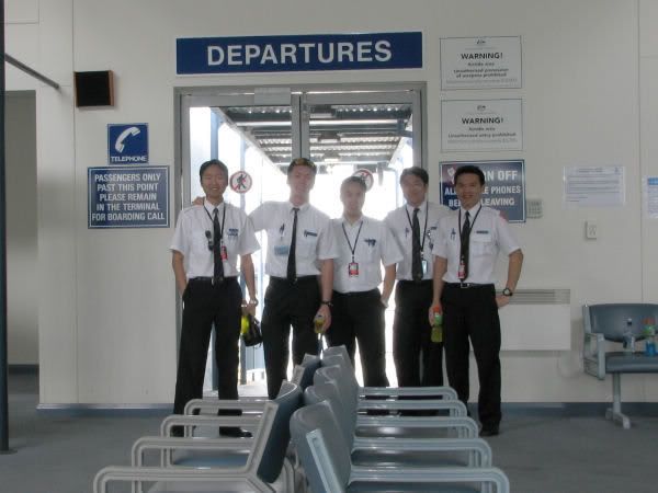
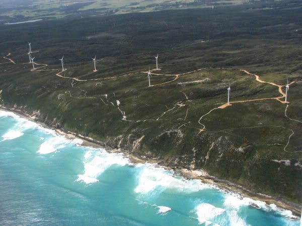
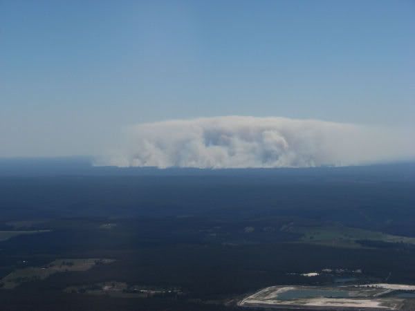
My last visual navigation flying brought me 400km down south to Albany, which is located in the most southerly tip of Western Australia. This was to be my qualifying navigation for my Commercial Pilot License. And also my last time flying navigation visually as I will completely move on to instrument flying which is done under the hood; sort of being blindfolded. The journey itself took more than 2 hours from Perth. Just before Albany, a range of mountain that was formed in the middle of vast flat terrain greeted me. A close check on my map revealed that the highest peak is named Bluff Knoll with an elevation of 3600ft above sea level. I was excited as I knew before hand that Bluff Knoll is the only place in Western Australia that gets snowfall. I glanced at the instruments in my aircraft, indicating my cruising height of 3000ft and outside temperature of 6 degree celcius. I was disappointed at that moment because I knew it was not cold enough for snowfall. I looked up ahead into the horizon and I could only see a brown "Mount Fuji" instead of snow clad peak. After I have landed and parked the plane, I quickly picked a nice spot to watch my coursemates coming in to land as well. 9 of us went to Albany that day. As it was Sunday, the airport terminal was deserted and we had it all to ourselves. The mini picnic we had inside the terminal was fun. As usual, Ron the drama queen had a field day in the terminal trying to act cute for pictures. The one he posed as a car rental receptionist in the picture below was so...ugh....no comment, haha. After a nice break, we took off again on a long journey back to Perth. On the way, I spotted an "atomic" bomb explosion in the forest. RON!!! Was that you again with your farts?


No comments:
Post a Comment